

On Not Getting Lost At Sea
I’ve written a few times now about navigation as a metaphor for being a decent headhunter.
The thing about navigation as we understand it in the 21st Century is that anyone with a functioning brain, smartphone and opposable thumbs can pinpoint themselves on the surface of the globe and see their position on a map in real-time to within a metre or two. It is straightforward to get to where you want to be. You have to remember things like weather and that it can be hard work going uphill but that aside, navigation anywhere on the face of the earth covered by a GPS satellite is now a breeze.
Until now, I’ve assumed that headhunting mapping is as developed as navigation on the surface of the planet. I’d always suggested that with a bit of intelligence and the right tools, you can quickly get to where you want to be. As you intelligent readers knew all along, I’ve been wrong.
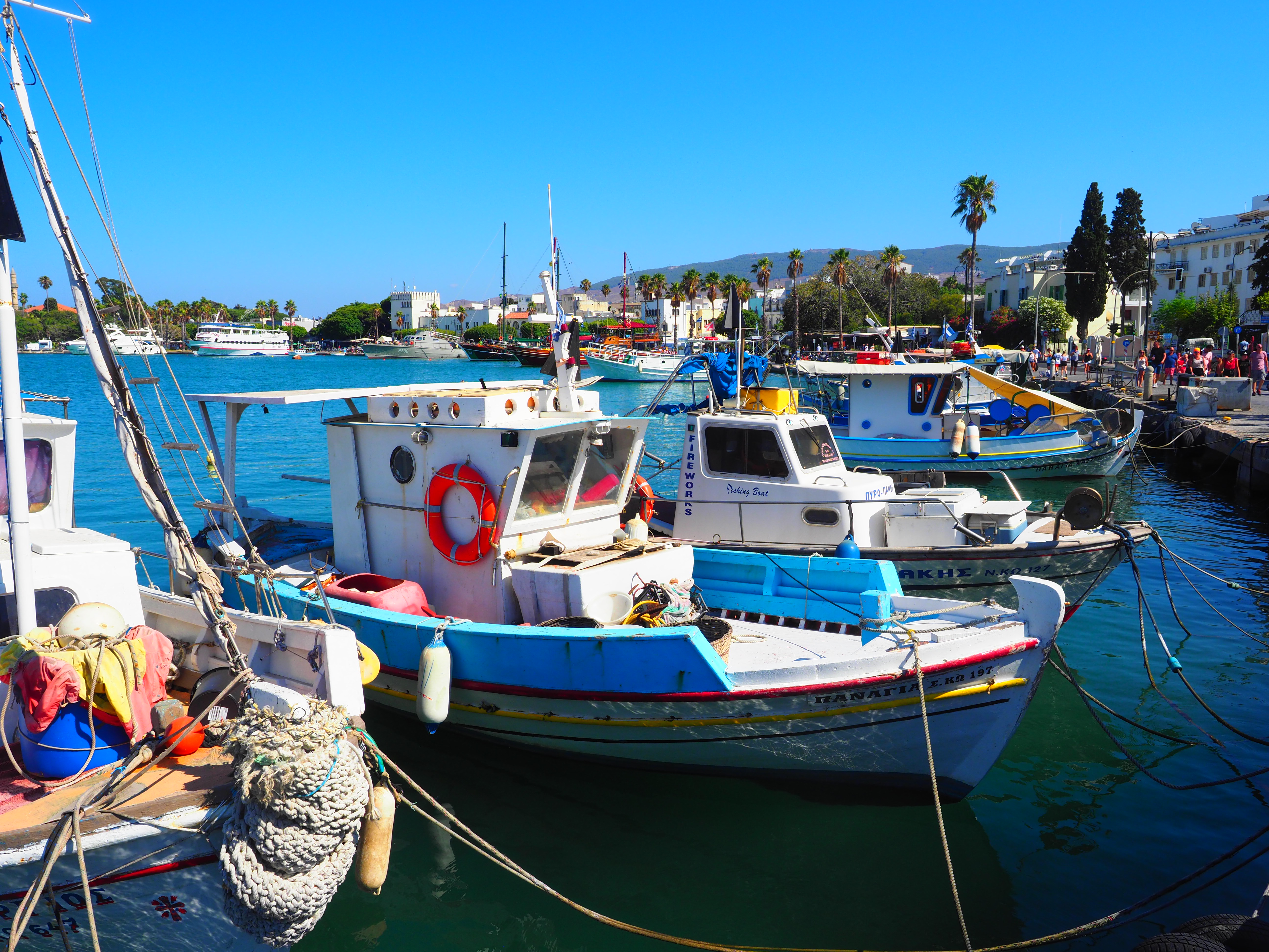
To demonstrate why it’s wrong, let’s move a few miles eastwards to the seaport where I grew up and latterly caught fish. Using a handy imaginary time machine let’s go to the 15th Century and decide that I want to go to Flanders to trade in wool and I have a letter of introduction to a merchant based in Bruges by the name of Giovanni Arnolfini to help me out.
To go overland with a cargo of fine wool is slow and potentially lethal to anyone heading through the disputed borderlands and bandit country of the Scottish Marches. We’re taking a ship called a “hulk” the Ford Transit of the day. We’ll go in summer and, God willing, we’ll get to Bruges in a week or so.
Now, how do we get there? And how do we make sure that we don’t collide suddenly and unexpectedly with bits of the island of Britain on the way?
Well, I’ve made navigation someone else’s problem. I’ve hired a hulk complete with captain and crew.
Maps go back a long way – some of the oldest artefacts we have are schematic maps ranging from cave paintings featuring prominent landmarks to scratched city plans on baked Mesopotamian mud. The thing about these maps though is that for precise navigation purposes they’re worse than useless. Okay, in the town you can draw how to get from one place to another or make a note of legal boundaries on a piece of animal skin. However, when we get to more significant bits of geography, the resulting maps become increasingly distorted and fanciful.
As educated 15th Century people we might have seen a copy of Ptolemy’s Atlas at some point, but there’s no printing so the likes of us can’t afford a decent copy to take with us – that’s for the seriously well off – Kings and Cardinals. That said, Ptolemy’s map wouldn’t help us much. Albion is off by 90 degrees and handily gives the names of all the tribes who lived around these parts 1,500 years ago but not much in the way of the location of the current residents. The first printed map of our bit of the world is still 100 years or so off and helpfully shows Brechin, the nearby cathedral, er, “city” but not Montrose, the enormous port where we are.
Fairly obviously then our (somewhat scary) captain isn’t using charts because there aren’t any. He does have a compass, and will only sail between April and October to make sure of clear skies and calmer seas so we can work out which direction we’re heading.
The essential things in our world though are the knowledge contained between our captain’s ears and a leather tube fully of scraps of well-thumbed vellum covered in ink and beer stains. Ladies and gentlemen, this is a “rutter”. It’s a collection of very detailed notes and sketches partly compiled by our wizened old sea dog himself, partly handed down to him by master mariners long passed on and partly compiled from information from other captains.
You want to know the port duties for wine in Berwick, the best way to get into the harbour at Boston and the change in sea colour that in fog lets you know you’re near the mouth of the fjord that leads to Oslo? Well, it’s all here in our captain’s prized possession.
Our man wouldn’t recognise a modern chart of the North Sea if it bit him in the wooden leg, but he knows how to work his way down the coast and exactly which points to head off at and what bearings to take from them. He knows where the current and wind need to be to guarantee him and thereby us a safe passage. This man, if not entirely worth his weight in gold is the only way we’re getting to Bruges and back.
Others like him, although possibly not quite so smelly, travel the Ocean point by point from Genoa, Venice and Barcelona beyond the Mediterranean and around Africa. They return laden with sweet spices, shimmering silk and exquisite porcelain. Every one of them has their rutter. Men will kill for these and die to protect them. The Portuguese will guard the secrets of the ways to the Indies for another century. Do you want my intellectual property? From my cold, dead hands landlubber.
Here’s my point then. You can have every navigational tool known to science but the bit that makes it all work, the bit that allows us to wrap our heads around where we are and where we’re going, needs not just to be invented but to be made accurate enough across the whole area portrayed to allow you to do anything useful with it.
I contend that in headhunting, as in many other areas of business, the world still belongs to those of us with rutters. Everyone knows that there’s a world out there, and most know their locality well enough to find Tesco or the pub but to be able to go from the edge of our local map and safely arrive somewhere new and then to function and carry out business still requires a hired navigator.
And if you want to engage a navigator who will get you to where you want to be, well why not drop me a line?